Thinking about buying land near Whitehall? The views are big, the lifestyle is quiet, and the opportunity can be great. But rural parcels come with details you do not want to miss, from legal access to wells, septic, and mining history. In this guide, you will learn the key questions to ask and where to verify answers so you can make a confident offer. Let’s dive in.
Start with access and roads
Verify legal access
Before you fall in love with a parcel, confirm that you can legally get to it. Ask for the recorded easement or public road name, the instrument number, and then verify it with the county’s records at the Jefferson County Clerk & Recorder. Use the Jefferson County GIS to locate the parcel and see platted roads, but remember, GIS maps are for reference only, not a survey.
County vs. private road
If access is by road, ask who maintains it and if it is plowed in winter. The county Road & Bridge Department can confirm whether a road is county maintained. New driveway approaches within county rights-of-way require an encroachment or driveway permit, and missing permits can trigger fines. Start with the county’s Roads & Bridge page.
Physical access, all seasons
Legal access is not the same as a drivable route. Visit in different seasons to confirm the road surface, drainage, and winter conditions. If the access is only a “paper road” on a plat, or if fences and gates do not match maps, budget for a survey to locate corners and easements.
Water and wells
Existing wells and testing
If there is a well, request the well log, any pump test data, and recent water quality results. If there is no well, ask nearby drillers and neighbors about typical depths and yields. DNRC materials encourage testing capacity before you build.
New exempt-well rule in 2026
As of January 1, 2026, Montana requires a DNRC Notice of Intent (Form 602I) before you use a new exempt domestic or stock well. DNRC reviews complete NOIs within about 10 business days and charges a filing fee. Confirm whether a valid NOI or water right already exists for the lot, and search DNRC’s system for records using the Exempt Well Updates page. A denied NOI can change your plan and may require a full water-right permit.
Shared rights or irrigation
If a parcel depends on shared irrigation or surface water, ask for water-right certificates, ditch agreements, and any change authorizations. Make sure the paperwork matches current use.
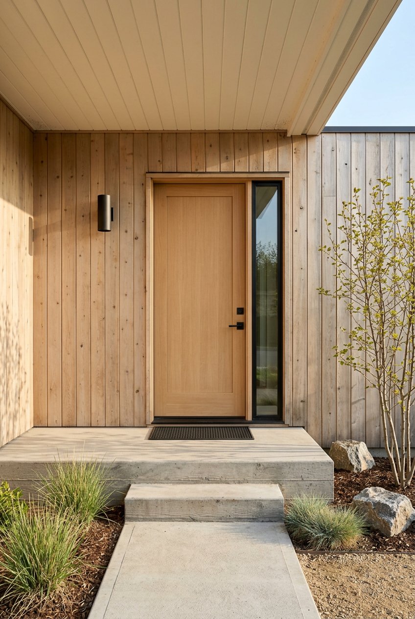
Septic and wastewater
Permits and as-builts
Outside Whitehall town limits, most parcels rely on septic. Ask for the septic permit, the installer name, and as-built drawings that show the tank and drainfield location. Jefferson County Environmental Health maintains records and issues permits, and designs must meet state DEQ standards. You can start your file request with Jefferson County Environmental Health.
If no septic yet
If there is no permit on file, plan for a site evaluation and soils testing before you build. Some soils will require an engineered or alternative system that can add cost. Ask early so you can budget correctly.
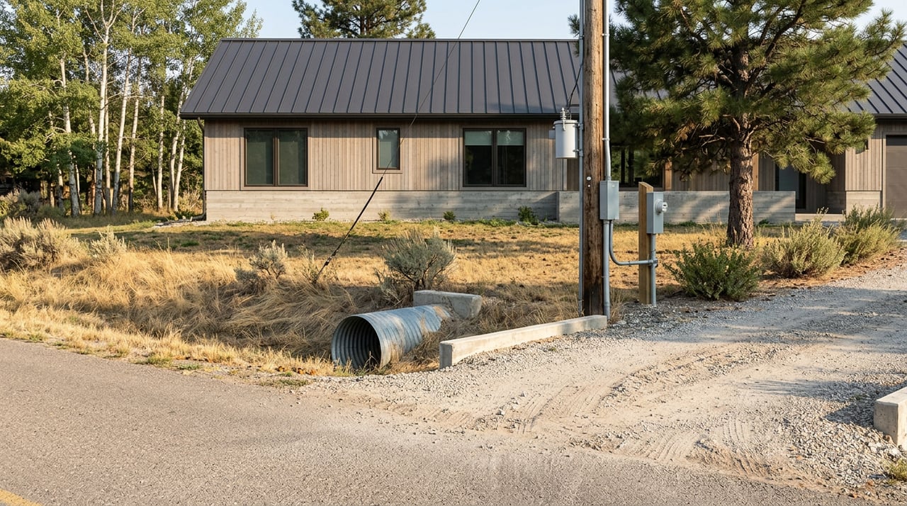
Utilities and connectivity
Electricity and gas
Confirm which electric provider serves the area and the estimated cost and timeline to bring power to your building site. Natural gas is not universal in rural areas, so many buyers plan for propane. Ask about line locations and extension policies before you finalize budgets.
Broadband and cell
Coverage can be uneven in rural valleys and foothills. Jefferson County’s growth plan prioritizes broadband expansion, but speeds vary by location. Verify real-world upload and download speeds with local ISPs and neighbors, and consider satellite options if fiber or DSL are not available.
Zoning, uses, and permits
What you can build
Confirm whether the parcel sits in a zoned district and what uses, setbacks, and building standards apply. Jefferson County Planning handles zoning administration, site permits, floodplain administration, and subdivision review. Contact the Jefferson County Planning Department early if you are planning a home, shop, accessory dwelling, or any non-residential use.
Dividing land or special uses
If you hope to split the parcel or add a non-residential use, ask about subdivision exemptions, conditional uses, and the Board of Adjustment process. These steps add time and cost, so build them into your schedule.
Town services vs. private systems
Inside vs. outside town limits
The Town of Whitehall operates municipal water and sewer inside town boundaries. If the parcel is inside the service area, request written confirmation from the town. If it is outside, plan for a private well and septic system. Learn more from the town’s water and sewer utilities page.
Soils, floodplain, and wildfire
Soils and buildability
Run a first-pass soils report using the NRCS Web Soil Survey. This will show mapped soil units, drainage, and common limitations. Treat it as a screening tool. You may still need site-specific percolation tests for septic and a geotechnical review if slopes or fill are present.
Floodplain and wetlands
Use FEMA’s portal to check for flood hazards, then confirm with the county floodplain administrator, especially if FEMA has issued preliminary map updates. Start with the FEMA flood mapping portal.
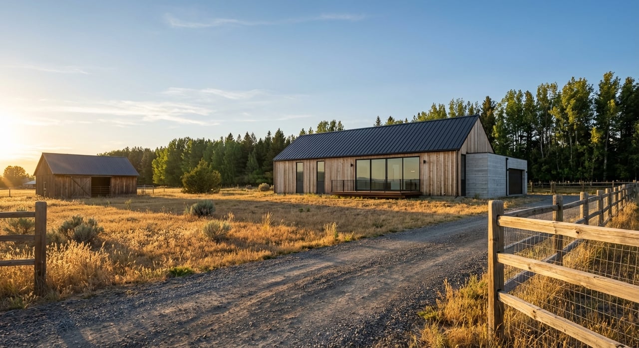
Wildfire risk
Parts of Jefferson County are in the wildland-urban interface. Ask the county or your local fire district about response times and community mitigation plans. Budget for defensible space and fuel reduction if your parcel is in a higher-risk area.
Mining, minerals, and environmental issues
Golden Sunlight and legacy mining
Whitehall is near the Golden Sunlight Mine and other legacy mining areas. The Montana DEQ oversees reclamation and has reviewed tailings reprocessing with an Environmental Impact Statement. If a parcel sits near mine features or haul routes, ask for studies or permit references and review DEQ files. Start with the Golden Sunlight Mine EIS for context.
Mineral rights and title
Mineral rights in Montana are often separate from surface rights. Ask whether minerals are reserved or leased and have the title company spell out any mineral exceptions. You can pull recorded instruments and covenants through the Clerk & Recorder. Decide in advance what you are comfortable with if the minerals are severed.
How to vet a Whitehall land listing
Use this quick pre-offer checklist:
Identify the parcel. Capture the full legal description and parcel ID from the listing, then confirm the parcel on the Jefferson County GIS. If the listing lacks a legal ID, press for it.
Pull recorded documents. Ask for deed, easements, covenants, and any plats, then match them to instrument numbers at the Clerk & Recorder.
Confirm access and road status. Ask the seller who maintains the road, verify county maintenance with Roads & Bridge, and note if a driveway permit will be required.
Check water and sewer service. If the parcel may be inside town, get written confirmation from the Town of Whitehall utilities. If not, plan for a private well and septic.
Research wells and water rights. Use DNRC’s resources to confirm whether a water right or Notice of Intent exists and whether an NOI will be needed under the 2026 rule. Start at Exempt Well Updates.
Review septic records. Request the septic permit, site evaluation, and as-built from Environmental Health.
Screen for flood hazards. Run the parcel through the FEMA flood mapping portal, then call the county floodplain administrator.
Look at soils. Run an NRCS Web Soil Survey report for drainage and limitations, then plan site-specific tests if you move forward.
Title commitment. Order a title commitment that clearly lists mineral exceptions and all recorded easements.
When to bring in professionals
- Licensed surveyor: When fences, corners, or access are unclear, or when you need to locate easements and setbacks. Planning often requires recorded surveys for permits. See Jefferson County Planning.
- Title company or real estate attorney: For mineral-rights reviews, complex easements, or old deed language that needs clarification.
- Licensed well driller or hydrologist: If there is no usable well or if you need cost estimates for depth and yield.
- County sanitarian or septic designer: For soils evaluations and septic designs that meet county and DEQ rules. Start with Environmental Health.
- Environmental consultant: If the parcel is near mining features or tailings, review DEQ files like the Golden Sunlight EIS.
Documents to request before due diligence
- Full legal description and parcel ID.
- Recorded deed, easements, and any covenants.
- Recent survey or plat and any as-built drawings.
- Well logs, pump test data, and water-quality lab results.
- Septic permit, site evaluation, and drainfield as-built.
- Title commitment with mineral exceptions.
- Any environmental studies or DEQ permit references near the site.
Local next steps
- Start your research with Jefferson County GIS to grab the parcel ID.
- Call Planning about zoning, site permits, and floodplain.
- Confirm utilities with the Town of Whitehall utilities and the county’s Roads & Bridge.
- Check wells and water-right needs with DNRC’s Exempt Well Updates page.
Ready to talk through a specific parcel? With a concierge, detail-first approach to land and development, AS Realty Montana helps you ask the right questions, gather the right documents, and structure a clean offer. Reach out to Amanda Shearman to schedule your free consultation.
FAQs
What counts as legal access for land in Jefferson County?
- Legal access means a recorded easement or a public road that reaches your parcel; verify the instrument number with the Clerk & Recorder and confirm road status with Roads & Bridge.
How does Montana’s 2026 DNRC exempt-well rule affect new buyers?
- Before using a new domestic or stock exempt well after Jan 1, 2026, you must file a DNRC Notice of Intent (Form 602I), so confirm NOI status or water rights early using DNRC’s Exempt Well Updates.
Who issues septic permits outside Whitehall town limits?
- Jefferson County Environmental Health issues septic permits, keeps records, and follows state DEQ standards; contact the county via Environmental Health.
How do I check if a Whitehall-area parcel is in a floodplain?
- Run the address or parcel through FEMA’s flood mapping portal and then confirm with the county floodplain administrator.
Is natural gas typically available on rural Whitehall acreage?
- Not always; many rural properties use propane, so confirm availability and line locations with local providers before you budget for utilities.
What should I know about land near the Golden Sunlight Mine?
- There is active DEQ oversight and an EIS for tailings reprocessing, so ask for environmental studies and check DEQ records like the Golden Sunlight EIS when evaluating nearby parcels.
Do I still need a survey if the county GIS shows my boundaries?
- Yes, the GIS is for reference and not survey-grade, so hire a licensed surveyor to locate corners, easements, and setbacks when boundaries or access are unclear.
How do mineral reservations impact my purchase?
- If minerals are severed, a mineral owner may retain certain rights that affect future use, so have your title commitment list all mineral exceptions and review recorded instruments at the Clerk & Recorder.